
About Universität Stuttgart — Institute for Photogrammetry and Geoinformatics
The Institute for Photogrammetry and Geoinformatics (ifp) at the University of Stuttgart researches photogrammetry, computer vision, remote sensing, and geoinformatics, including UAV-based mapping.
Products available from this partner
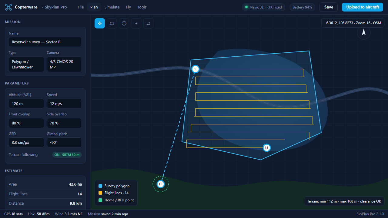
SkyPlan Pro
Terrain-aware mission planning for survey and inspection flights.
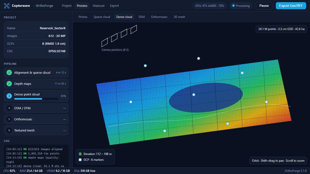
OrthoForge
GPU-accelerated photogrammetry that scales from fields to cities.
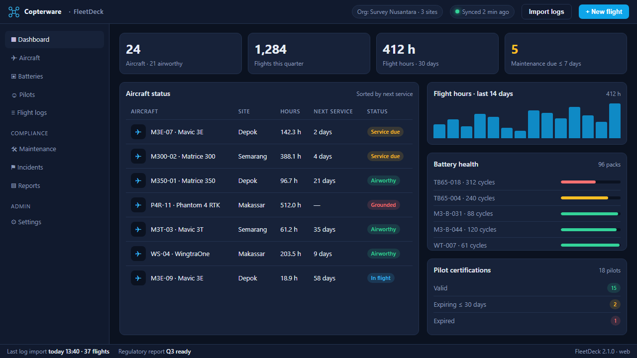
FleetDeck
One dashboard for aircraft, pilots, batteries, and compliance.
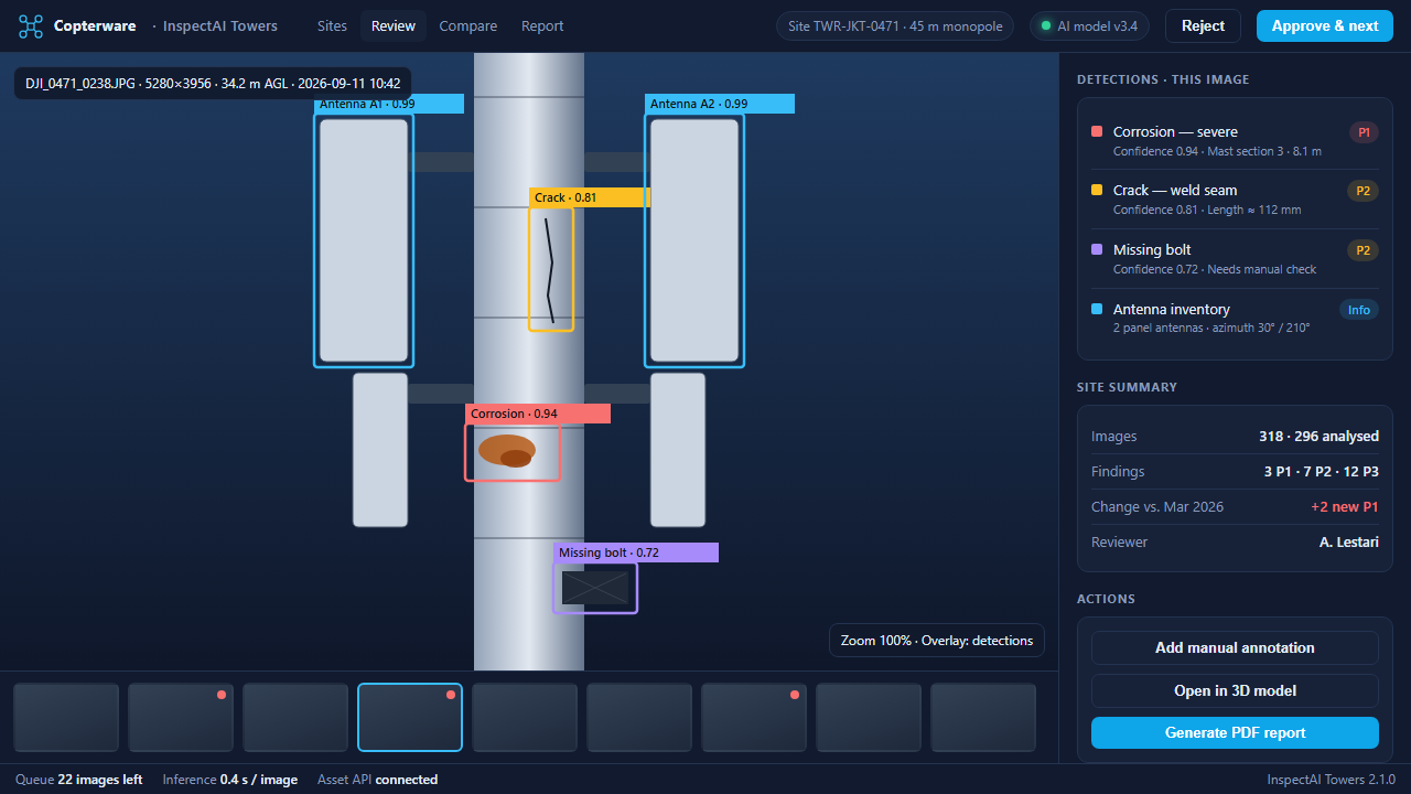
InspectAI Towers
Automated defect detection for telecom and power infrastructure.
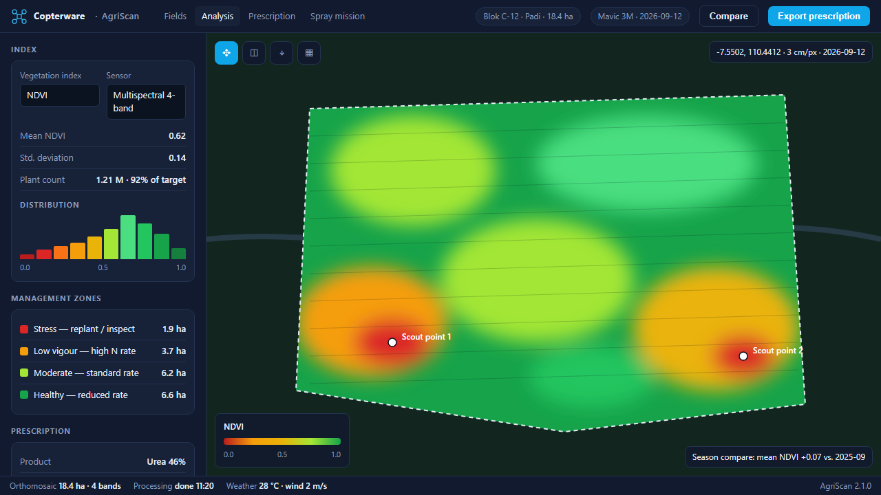
AgriScan
Multispectral crop analytics and variable-rate spraying plans.
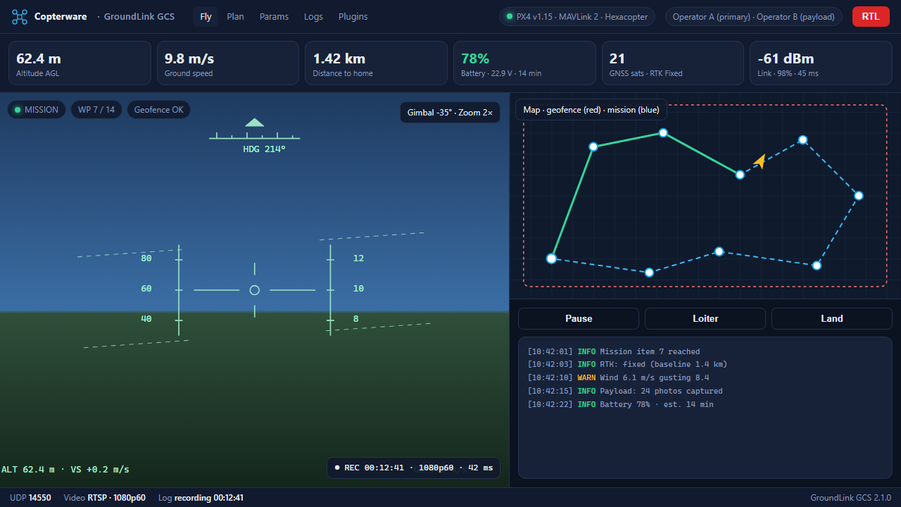
GroundLink GCS
A modern ground control station with live telemetry and video.
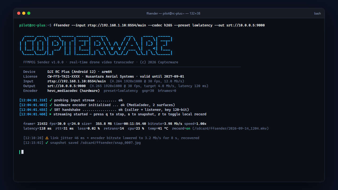
FFMPEG Sender
Real-time transcoding of the drone camera feed into any video format.
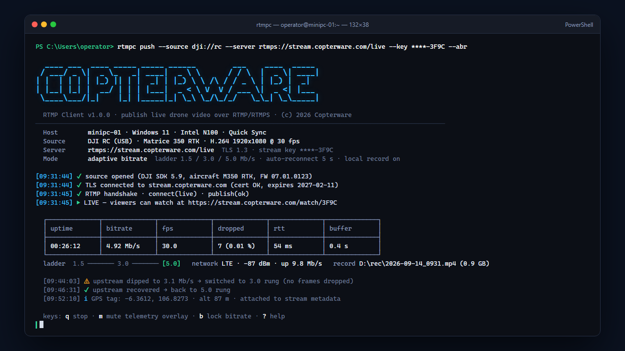
RTMP Client
Push live drone video to any RTMP server from the remote or a mini PC.
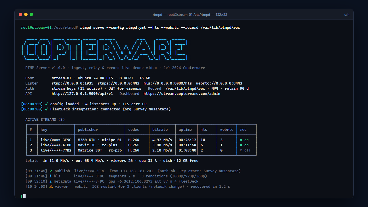
RTMP Server
Receive, relay, and record live drone video streams from RTMP clients.