OrthoForge
GPU-accelerated photogrammetry that scales from fields to cities.
Contact your local partner for pricing and licensing options
Overview
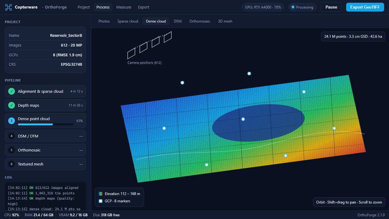
OrthoForge turns drone imagery into orthomosaics, digital surface and terrain models, dense point clouds, and textured 3D meshes. Processing runs on the GPU, so a typical 600-photo survey is reconstructed in well under an hour on a workstation.
The ground control workflow detects targets automatically, supports RTK and PPK camera positions, and reports check-point residuals so accuracy can be proven to clients. Volume and cut/fill tools measure stockpiles and earthworks directly on the map, and all outputs export as GeoTIFF, LAS, or OBJ for any GIS or CAD package.
Key features
- Orthomosaic & DSM generation
- Ground control point workflow
- RTK/PPK metadata support
- 3D textured mesh export
- Volume measurement tools
Get OrthoForge
Copterware software is sold and supported exclusively through authorized partners. Select your country to see the organizations that distribute this product and contact their office directly.
Release history
-
v2.1.0 Aug 25, 2026
Performance improvements and bug fixes.
-
v2.0.0 May 14, 2026
Major release with a redesigned interface.