Category
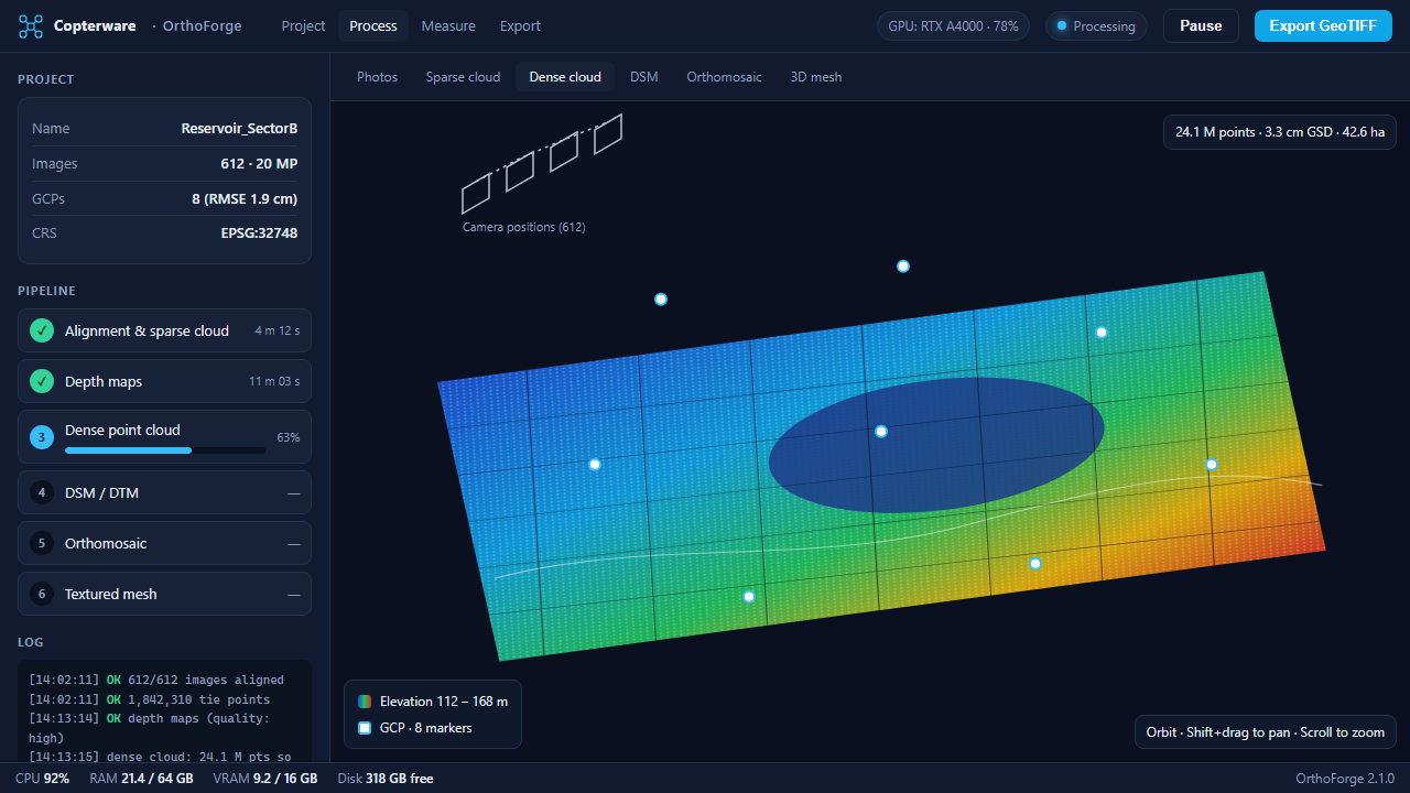
Turn aerial imagery into orthomosaics, DEMs, and 3D models.
GPU-accelerated photogrammetry that scales from fields to cities.