SkyPlan Pro
Terrain-aware mission planning for survey and inspection flights.
Contact your local partner for pricing and licensing options
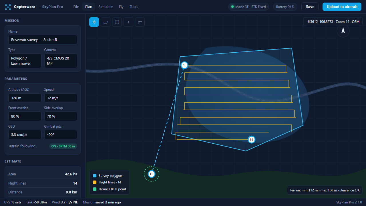
Overview
SkyPlan Pro is a mission planner for survey, corridor, and inspection flights. Draw a polygon or corridor, set the target GSD and overlap, and the planner generates flight lines, camera triggers, and a battery plan for the aircraft profile you fly.
Terrain following uses SRTM elevation data to hold a constant height above ground on hilly sites, and offline map caching keeps planning available without a connection. Missions upload directly to DJI, PX4, and ArduPilot aircraft and can be resumed across multiple batteries without losing coverage.
Key features
- Terrain-following waypoints
- Corridor & polygon missions
- Offline map caching
- KML/KMZ import & export
- Multi-battery mission resume
Get SkyPlan Pro
Copterware software is sold and supported exclusively through authorized partners. Select your country to see the organizations that distribute this product and contact their office directly.
Release history
-
v2.1.0 Aug 25, 2026
Performance improvements and bug fixes.
-
v2.0.0 May 14, 2026
Major release with a redesigned interface.